Access the GIS maps at https://apps.gis.saccounty.gov/lafcodistricts
This application will give the user visual overviews of public agency (cities and district) boundaries, individually or as a mashup, to visualize overlaps. Individual agencies are organized in categories to the right.
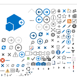
How to use the program:

- Use the 'Expand' (arrow
 ) button to see all of the agencies under the categories.
 - Use the 'Show layer' (eyeball
 ) button to show the layers on the map. You can turn each agency's layer on or off by clicking on the eyeball.
- The three dots to the right of an agency's name contains additional command functions that you can use on this program, including being able to “zoom" to an agency and increase/decrease transparency in case you have multiple layers overlapping across an area.
If you want to research the agencies providing service to an individual parcel or address, use the search bar at the top left hand corner and enter the address or assessor's parcel number (APN). Selecting a parcel will give a popup window displaying all the Districts that overlay that selection.
For additional functionality, clicking on the Layer Category Icons at the bottom of the screen opens the corresponding Open Data page for that category. In the Open Data page you can download a specific agency boundary GIS file, print maps and display metadata about specific agencies. The Open Data page can also be launched when you click on the maps for the individual agencies found on the left hand side menu of this page.